Wildlife movement, from wildebeest to snow leopards, is essential for animals to find food, mate, and adapt to environmental changes. Understanding these patterns is critical for modern conservation.
Methods for Mapping Wildlife Movement
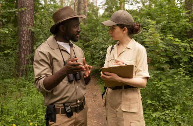
Scientists and conservationists employ a variety of techniques to track animals, each with its own strengths and applications. These methods range from high-tech satellite tracking to community-powered data collection.
GPS Tracking and Telemetry
One of the most powerful tools for mapping wildlife movement is GPS (Global Positioning System) tracking. This involves fitting an animal with a small, lightweight device, often a collar or tag, that records its location at regular intervals. The data is then transmitted via satellite or radio signals back to researchers.
- How it works:GPS collars receive signals from satellites to determine the animal’s precise geographic coordinates. This data can be stored on the device for later retrieval or transmitted in near real-time.
- Applications:This technology has been used to track a wide range of species, from large mammals like elephants and tigers to smaller animals and even birds. The detailed movement data helps researchers understand habitat use, migration routes, and daily activity patterns. For example, tracking data from African elephants has revealed critical corridors between national parks, leading to efforts to protect these routes from development.
Camera Trapping
Camera traps are remotely activated cameras equipped with motion or infrared sensors. When an animal passes by, the camera automatically takes a photo or video. This non-invasive method provides valuable insights into the lives of secretive or nocturnal animals.
- How it works:Cameras are strategically placed in areas where wildlife is expected to be present, such as along trails or at water sources. The resulting images help identify which species are in an area, their population density, and their behavior.
- Applications:Camera traps are essential for monitoring elusive species like jaguars in the Amazon or Amur leopards in the Russian Far East. By deploying a grid of cameras, researchers can estimate population sizes and study how different species interact within an ecosystem.
Citizen Science Initiatives
Citizen science involves engaging the public in scientific research. For wildlife tracking, this can mean asking hikers, birdwatchers, and local communities to report sightings of specific animals. Mobile apps and online platforms have made it easier than ever for people to contribute valuable data.
- How it works:Participants use apps to log their observations, often including photos and location data. These platforms aggregate thousands of individual sightings to create large-scale maps of species distribution and movement.
- Applications:Citizen science is particularly effective for tracking widespread and easily identifiable species, like monarch butterflies during their annual migration. It not only provides a vast amount of data but also fosters a deeper connection between the public and the natural world, building support for conservation.
Challenges and Solutions
While the tools for mapping wildlife movement have become increasingly sophisticated, several challenges remain. Overcoming these hurdles is crucial for making the most of the data collected.
Technological Limitations
GPS collars can be expensive, and their battery life is often limited. For smaller animals, the weight of the device can be a significant issue.
- Solutions:Researchers are constantly developing smaller, more energy-efficient tracking devices. The use of solar-powered tags is also becoming more common, extending the lifespan of the tracking period. For species where collaring is not feasible, non-invasive methods like genetic analysis of hair or feces can provide information about movement and population connectivity.
Data Analysis and Interpretation
The sheer volume of data generated by modern tracking technologies can be overwhelming. Analyzing this data to extract meaningful ecological insights requires specialized skills and powerful computing resources.
- Solutions:Advances in data science and the use of sophisticated statistical models are helping researchers make sense of complex movement data. Collaborations between ecologists and data scientists are becoming more common, leading to more robust analyses.
Funding and Resources
Conservation is often underfunded, and the costs associated with tracking wildlife can be substantial. Purchasing GPS collars, setting up camera traps, and funding the staff to manage these projects all require significant financial investment.
- Solutions:Conservation organizations often rely on grants, donations, and partnerships with government agencies and private companies. Crowdfunding and citizen science initiatives can also help offset costs while engaging a broader community in conservation efforts.
The Role of Ecological Consultants
Ecological consultants play a vital role in bridging the gap between raw data and actionable conservation strategies. These experts bring specialized knowledge in data collection, analysis, and interpretation, often working in collaboration with government agencies, non-profits, and private landowners.
Consultants are frequently hired to conduct environmental impact assessments for new development projects, using wildlife tracking data to predict how a project might affect local animal populations. They can recommend mitigation measures, such as creating wildlife underpasses or protecting key habitats. For instance, GIS consulting services can help model and visualize animal movement patterns to identify the most effective locations for these conservation interventions. Their expertise ensures that conservation decisions are based on sound science, maximizing the effectiveness of conservation spending.
Future Directions in Wildlife Mapping
The field of wildlife tracking is continually evolving, with new technologies and analytical methods on the horizon. These advancements promise to provide even deeper insights into the lives of animals and help us protect them more effectively.
Advancements in Technology
The next generation of tracking devices will be smaller, smarter, and more interconnected. Innovations like the Internet of Things (IoT) could create networks of sensors that provide a real-time picture of an entire ecosystem. Bio-logging, which involves tags that record not just location but also physiological data like heart rate and body temperature, will offer a more complete understanding of how animals respond to their environment.
Integrating AI and Machine Learning
Artificial intelligence (AI) and machine learning are set to revolutionize how we analyze wildlife movement data. AI algorithms can quickly identify individual animals from camera trap images, saving researchers countless hours of manual work. Machine learning models can predict animal movements based on environmental variables, helping to anticipate where conflicts with humans might arise. This predictive power will be invaluable for proactive conservation planning.
Conclusion
Mapping wildlife movement is more than just drawing lines on a map. It is about understanding the intricate dance of life that sustains our planet’s ecosystems.